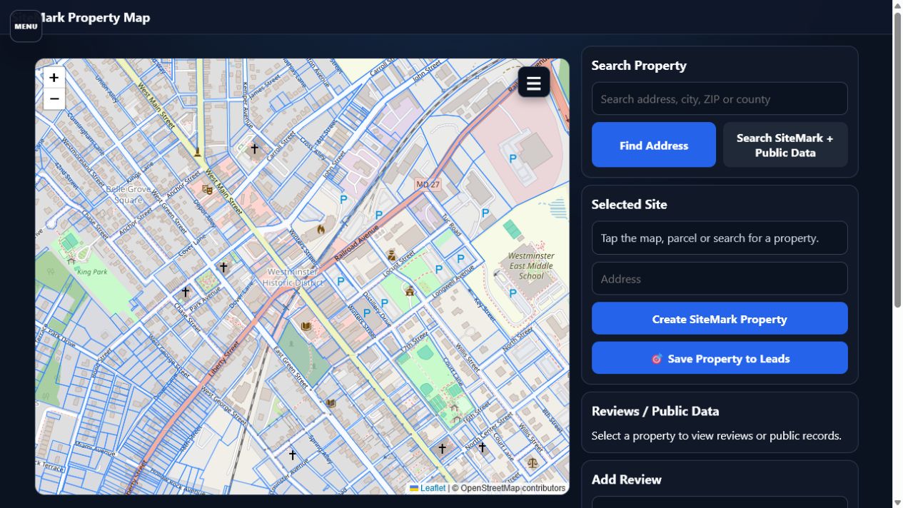
Parcel-aware selection
Select a visible parcel and preserve its address, coordinates, public record references and contractor notes.
SiteMark combines parcel boundaries, public property records, satellite context, GPS and contractor knowledge so teams can evaluate opportunities before the first visit.
Select a visible parcel and preserve its address, coordinates, public record references and contractor notes.
Measure distance and area from satellite imagery when the roof, concrete, deck or exterior surface is visible.
Use device location to identify the containing parcel and create an actionable lead without retyping the address.
SiteMark uses available parcel and public-record services across supported states while keeping contractor observations separate from authoritative public data.
Save a selected property directly into the CRM pipeline, build an estimate and track the opportunity through contract.